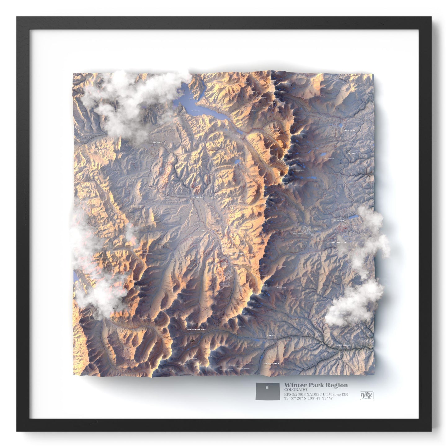
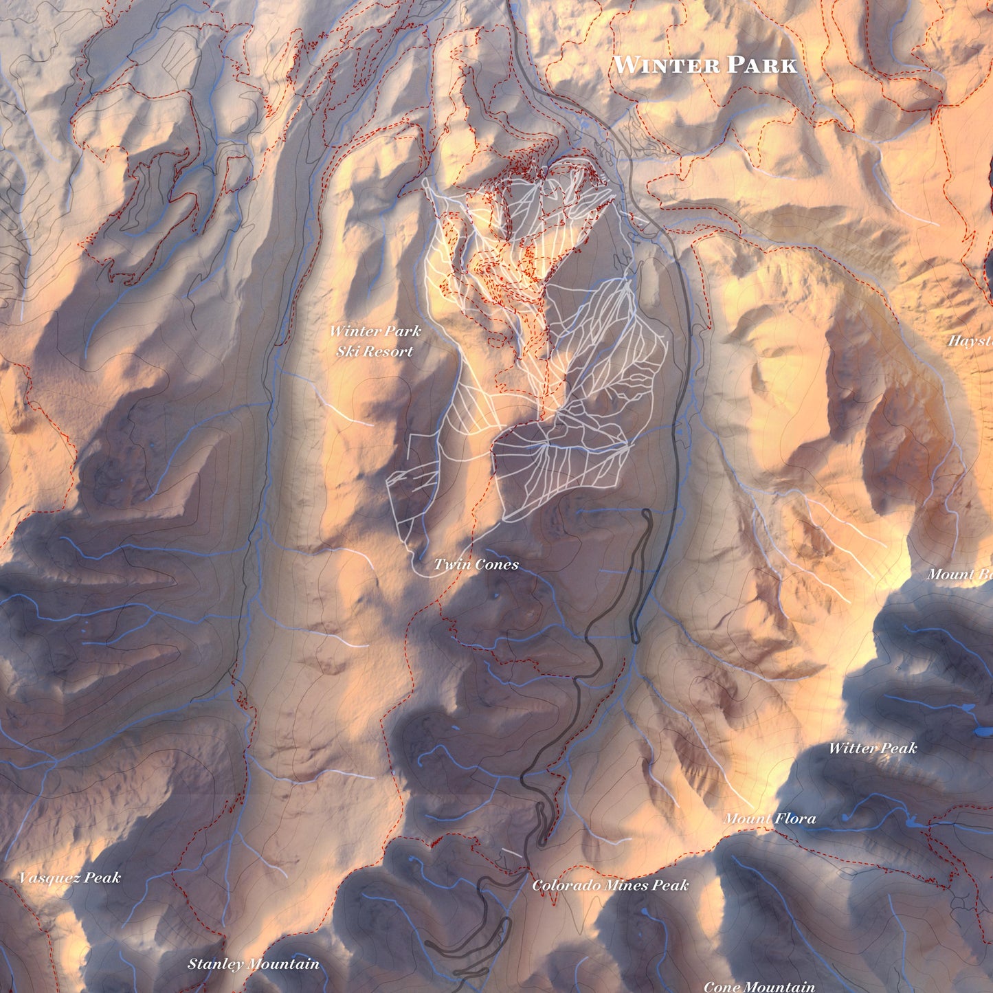
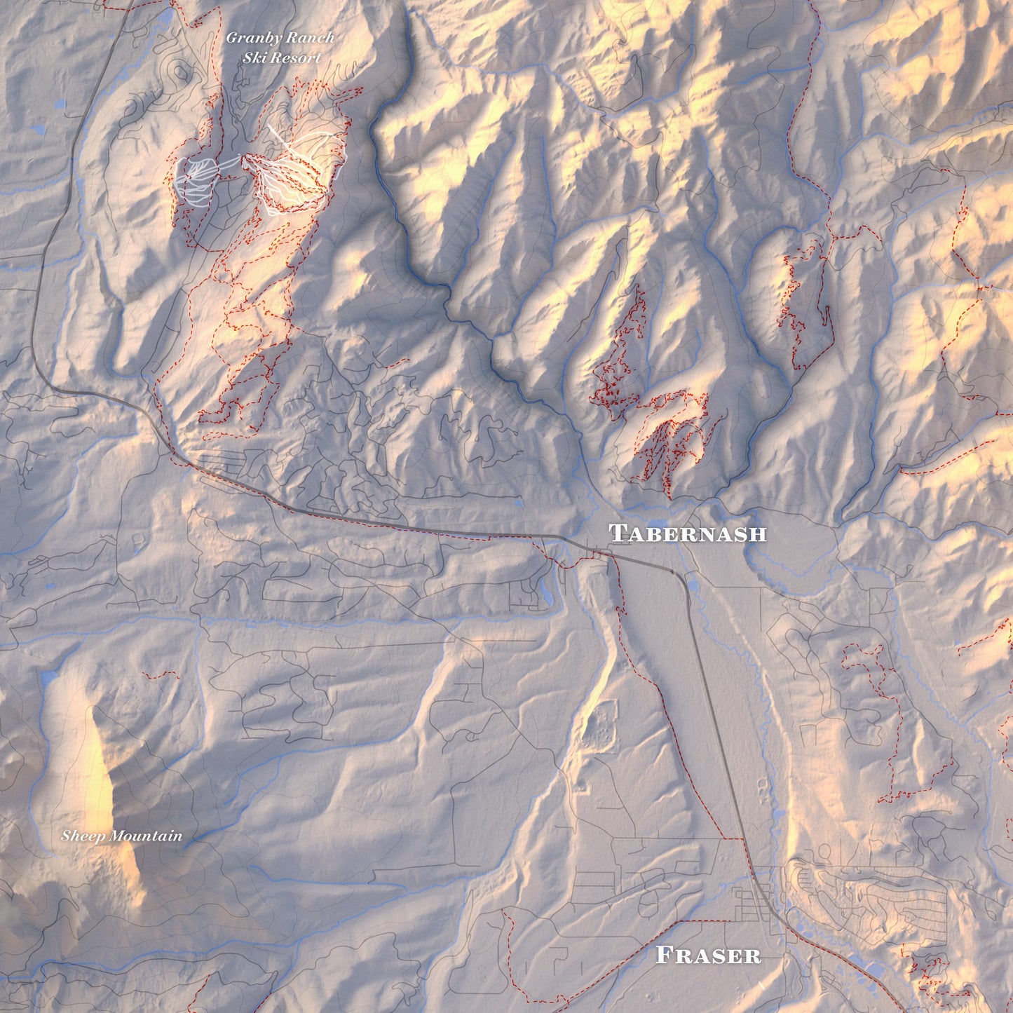
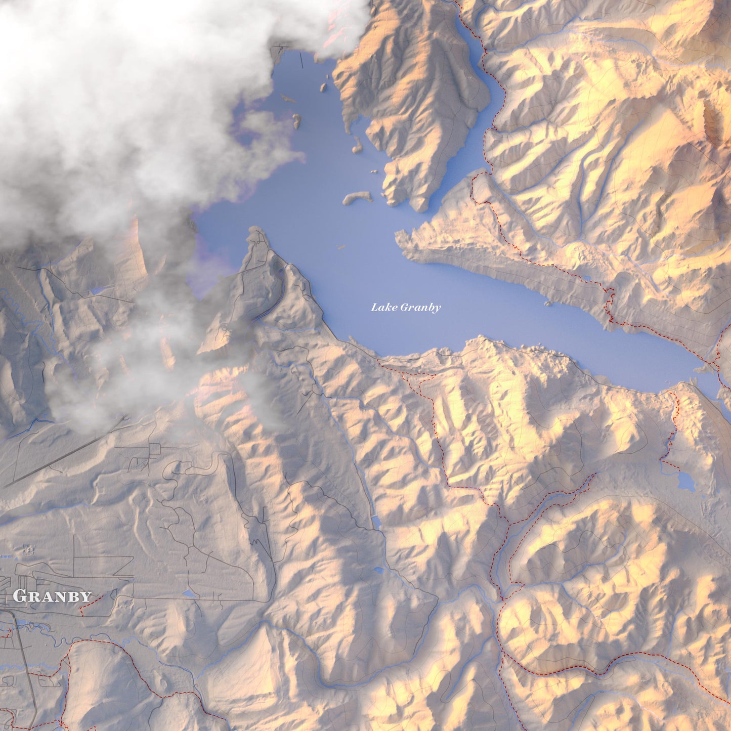
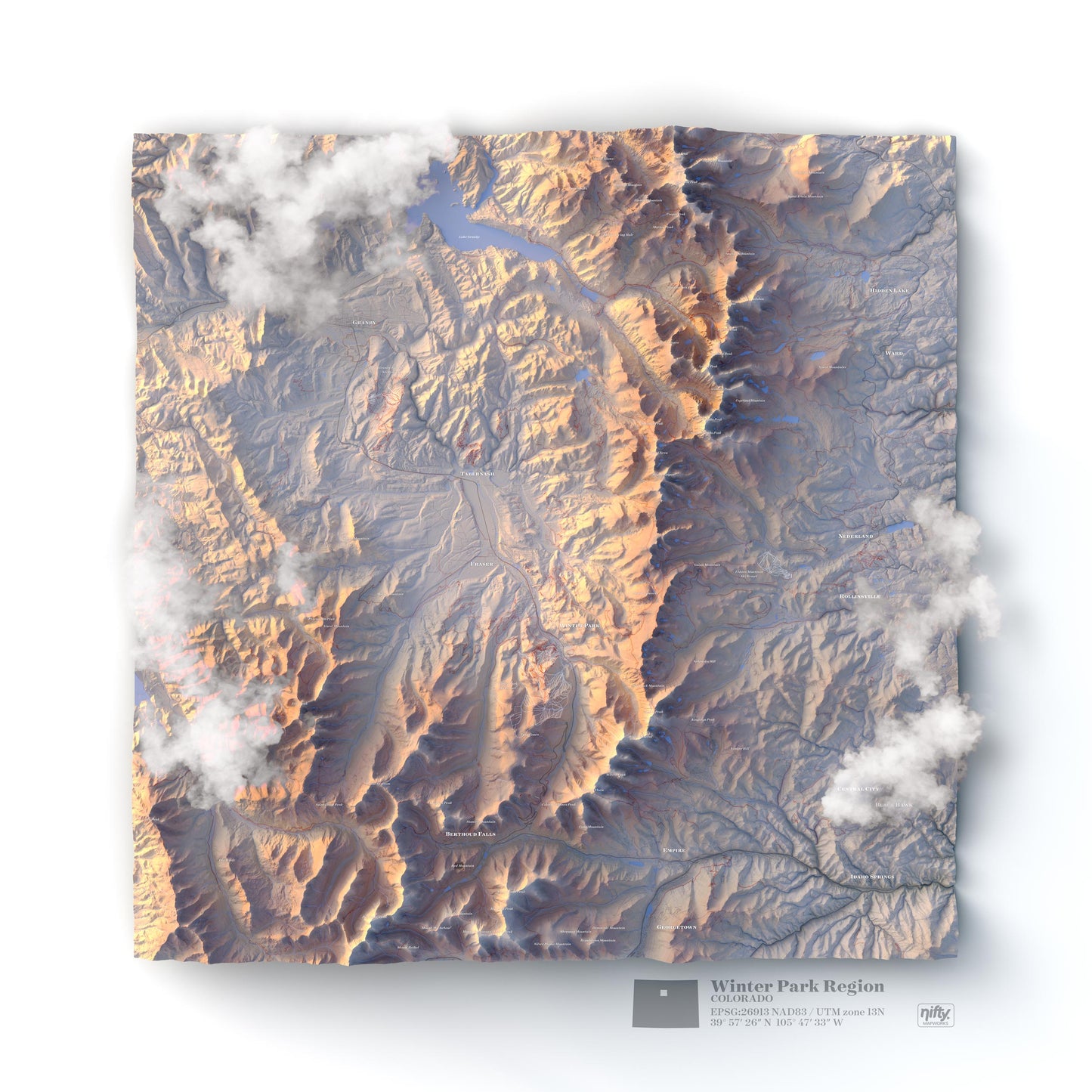
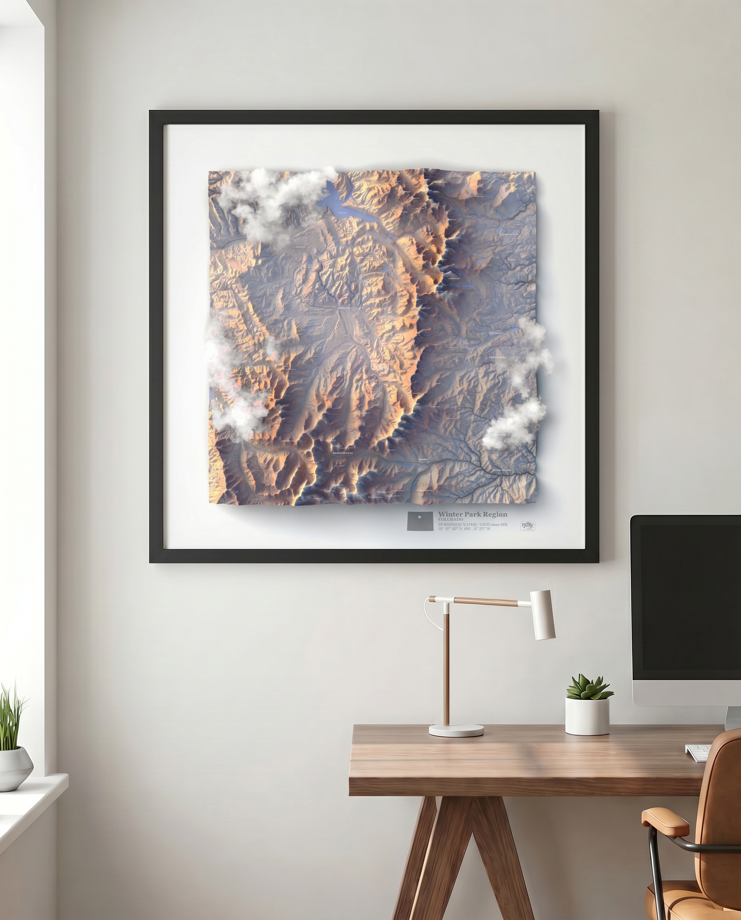
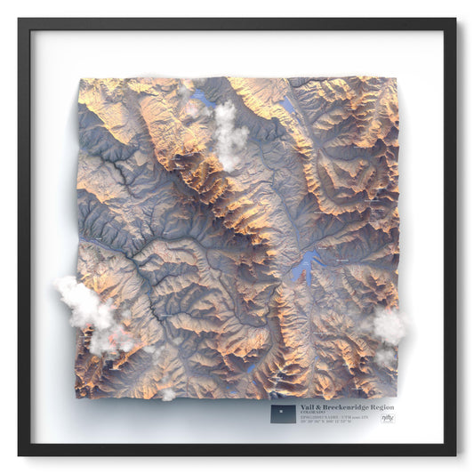
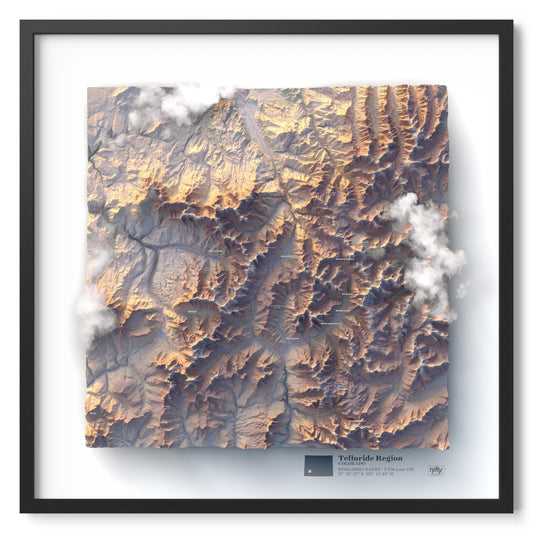
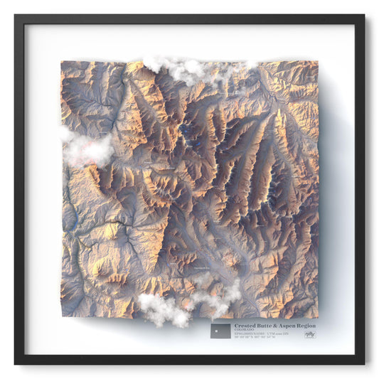
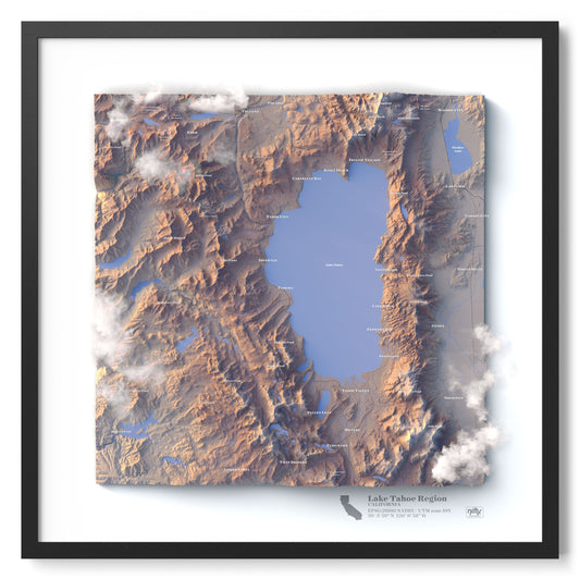
Explore Winter Park, Fraser, and the Continental Divide in stunning topographic detail. Every peak, valley, and trail is rendered from high-resolution USGS satellite elevation data - creating a map that looks and feels three-dimensional, even though it's completely flat to the touch.
Integrated trail data covers hiking, biking, and ski resort runs across the region, making this as functional as it is beautiful. Whether you're planning your next mountain adventure or reliving your favorite routes, the detail is all here.
Areas Covered
Fraser, Granby, Nederland, Winter Park Ski Resort, Eldora Ski Resort, Berthoud Pass, and more.
• Printed on high-quality matte art paper for archival longevity, ensuring deep color retention without unnecessary texture or reflections that could hinder the 3D illusion.
• Framed orders are matless and mounted in a custom black wood frame (Made in America!), professionally assembled for a clean, gallery-quality presentation.
• Protected under ACRYLITE® Non-Glare Acrylic, eliminating sharp reflections to enhance the map’s dimensional appearance and ensuring long-term durability.
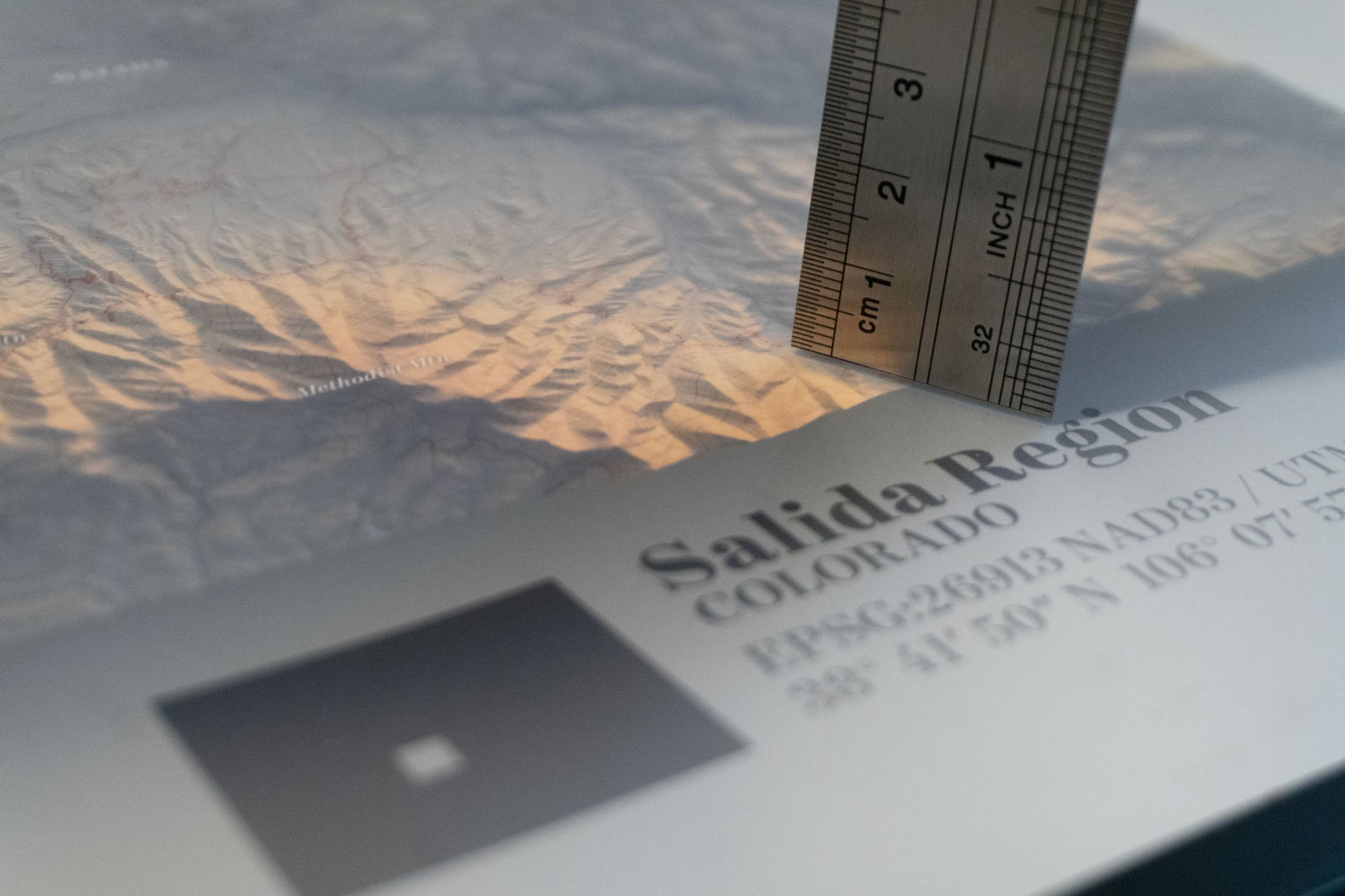
• Custom-designed cartographic style, created using high-resolution satellite elevation data courtesy of USGS, resulting in highly detailed and visually striking maps.
• Expertly crafted in small batches, ensuring attention to detail and precision in every print.
• Though these maps depict 3D terrain, they are 2D prints and flat to the touch—engineered to create an optical illusion of depth and topography.
• A unique conversation piece, perfect for adventurers, nature lovers, and design enthusiasts who appreciate beautifully rendered landscapes.